Texas Panhandle Hub on Route 66
Amarillo spans Potter and Randall counties in the Texas Panhandle, where more than a century of cattle and rail history meets Route 66, a broad energy economy, and the red-rock canyons of the High Plains.
Amarillo is the commercial and cultural center of the Texas Panhandle, a High Plains city that sits astride the Potter and Randall county line and reaches across a wide swath of level prairie that once served as open range for cattle. The city took shape in the late 1880s as a rail-side settlement originally called Oneida, and its fortunes turned almost immediately on the railroad and the cattle that moved through it: by the 1890s Amarillo ranked among the busiest cattle-shipping points in the world. That livestock heritage still anchors the regional economy alongside energy, agriculture, health care, and higher education, giving the city a role far larger than its size suggests. The city's layout and identity bear the strong imprint of Route 66, which carried travelers through the Panhandle beginning in the 1920s and converged here with several other U.S. highways during the 1930s, cementing Amarillo's role as a transportation crossroads. Today the city sits at the junction of Interstate 40, the principal east-west corridor across the Panhandle, and Interstate 27, which runs south toward Canyon and Lubbock. Downtown, the medical district, and older residential neighborhoods ring a compact core, while growth has pushed south and west into Randall County. Amarillo's character blends working ranching and energy traditions with a maturing civic and cultural scene. Residents are drawn by a comparatively modest cost of living, wide-open geography, and a pace that mixes small-town familiarity with the amenities of a regional center. Within the city, institutions such as the American Quarter Horse Hall of Fame & Museum and the Amarillo Museum of Art round out a civic life built around Western heritage. The defining backdrop is Palo Duro Canyon, the second-largest canyon in the United States, whose red-rock walls rise about 800 feet just 25 miles southeast of town and draw visitors year-round for hiking, biking, horseback riding, and the long-running outdoor musical "TEXAS."
MARKET SNAPSHOT
How homes have been selling here over the last 90 days.
Market data reflects closed sales over the last 90 days and is provided for informational purposes.
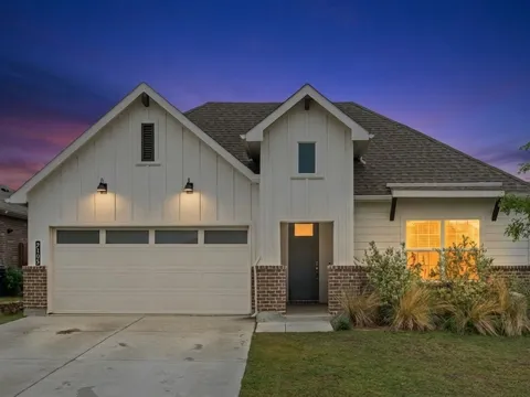
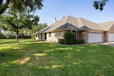
For sale
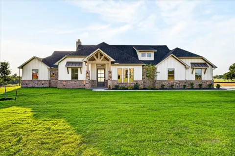
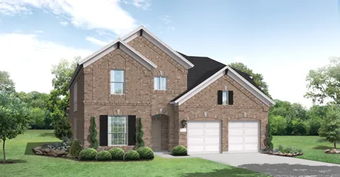
Handpicked properties hitting the scene in your area.
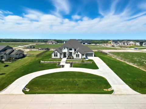
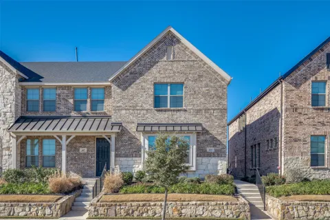
For sale
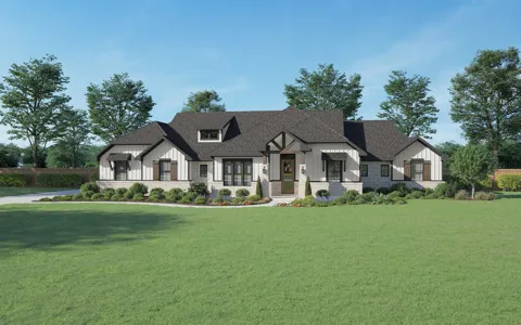
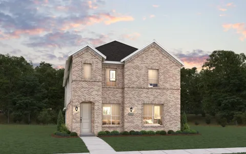
Handpicked properties hitting the scene in your area.
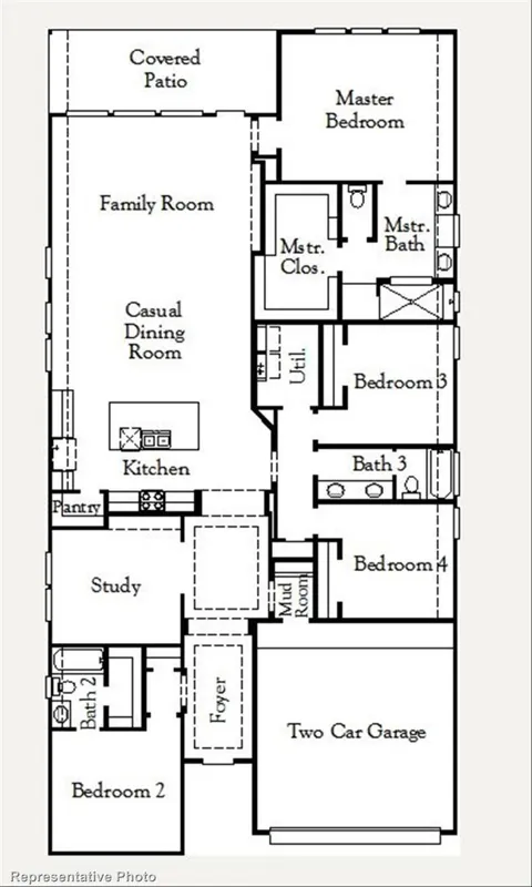
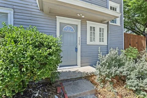
For sale
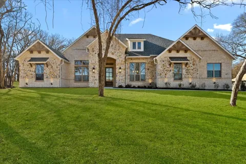
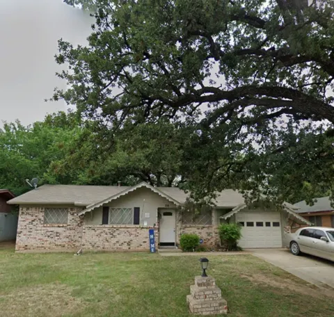
Handpicked properties hitting the scene in your area.
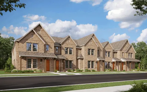
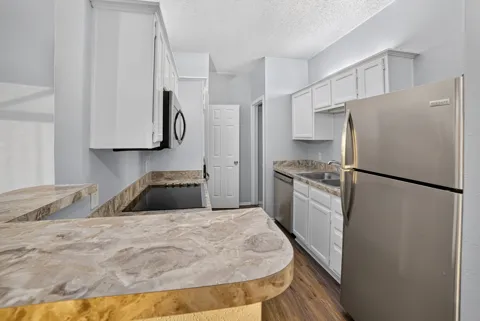
For Rent
For Rent
For Rent
BROWSE BY ZIP
Browse listings by postal code in this area.
6304 Buffalo Gap Rd Abilene, TX 79606
City Guide
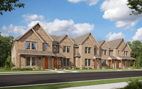
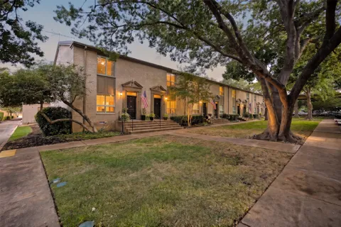
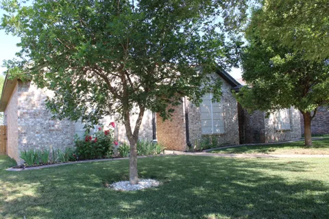
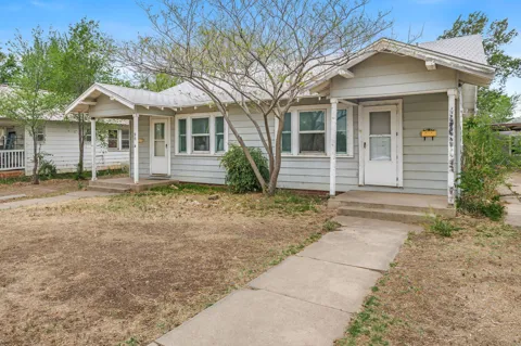
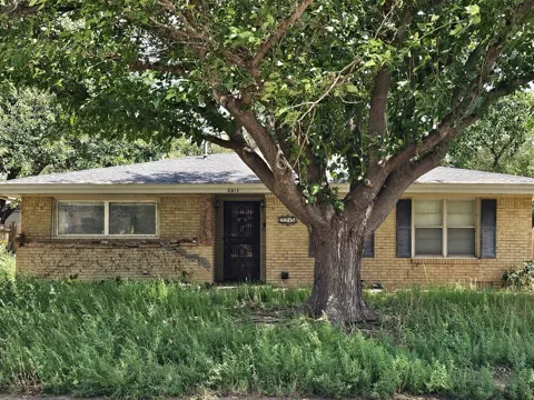
Amarillo's housing stock reflects its growth in distinct eras. Early bungalow and craftsman homes cluster near downtown and along the original streetcar and rail corridors, while the 1920s produced tree-shaded historic districts such as Wolflin, with Spanish Eclectic and Mediterranean Revival houses on wide lots. Mid-century ranch and split-level homes fill the neighborhoods built during the post-war expansion, and the southern and western edges of the city contain newer subdivisions on larger lots, many in Randall County. The mix spans compact starter homes and acreage properties on the urban fringe, and the region's comparatively modest cost of living has historically kept housing attainable relative to the state's major metros.
Wolflin Historic District, just southwest of downtown, is among the city's most established addresses, known for Spanish-style houses from the 1920s on streets lined with mature trees. Nearby Bivins, Belmar, and Sleepy Hollow continue that early-20th-century pattern of gracious, tree-canopied streets. North Heights, north of downtown, developed as one of the city's historically Black neighborhoods and retains a distinct community identity, while the Barrio neighborhood preserves another layer of the city's Mexican American heritage. Newer master-planned developments such as The Colonies on the south side extend the city into Randall County, and rural acreage subdivisions fan out across the surrounding prairie.
Amarillo's lifestyle is rooted in its identity as a cattle and rail town and its place on the Mother Road. Route 66 landmarks such as the Cadillac Ranch installation draw a steady stream of visitors, and the city's steakhouse and barbecue culture is a point of local pride. Institutions including the American Quarter Horse Hall of Fame & Museum, the Don Harrington Discovery Center, and the Amarillo Zoo anchor a family-oriented civic scene, with museums and downtown venues hosting events year-round. The long-running outdoor drama "TEXAS" at Palo Duro Canyon pairs the region's history with its most spectacular setting.
Amarillo ISD is the city's primary district, enrolling about 33,000 students across 55 campuses, including four comprehensive high schools — Amarillo, Caprock, Palo Duro, and Tascosa — and operating as a choice district with flexible enrollment. Canyon ISD serves much of the fast-growing south side and communities in adjacent Randall County, and a number of private and parochial schools add options. Higher education is nearby through Amarillo College, the city's two-year system, and West Texas A&M University in Canyon, while Texas Tech University Health Sciences Center maintains a strong presence that supports the city's medical sector.
Amarillo sits at the junction of Interstate 40, the principal east-west route across the Texas Panhandle, and Interstate 27, which connects the city southward to Canyon and Lubbock. The city's highway network descends directly from its Route 66 history, when several U.S. routes converged here during the 1930s. Rick Husband Amarillo International Airport, about ten miles east of downtown, provides regional and national air service, while Amarillo City Transit operates local bus routes. Freight rail remains central to the regional economy, a legacy of the railroad that first put the city on the map.
Palo Duro Canyon State Park, about 25 miles southeast of Amarillo, is the centerpiece of outdoor recreation in the Panhandle — a canyon with walls rising roughly 800 feet, offering trails for hiking, mountain biking, and horseback riding, plus campgrounds and scenic drives. Closer to home, Wildcat Bluff Nature Center preserves shortgrass-prairie trails on the city's west side, and the Amarillo Zoo provides a family destination. Lake Meredith National Recreation Area lies north of the city for boating and fishing, and the Cadillac Ranch public-art site remains one of the most photographed stops on the Route 66 corridor.
About Amarillo
Amarillo straddles the line between Potter County and Randall County in the Texas Panhandle. The city serves as the seat of Potter County, while a growing share of its residents and newer neighborhoods lie across the line in Randall County.
Amarillo ISD is the primary district, enrolling about 33,000 students across 55 campuses and four comprehensive high schools. Canyon ISD serves much of the southern and western growth areas in Randall County, and several private and parochial schools operate in the city.
Palo Duro Canyon State Park lies roughly 25 miles southeast of Amarillo, a drive of about half an hour. The park is the second-largest canyon in the United States and offers hiking, biking, horseback riding, and camping.
Amarillo is known for its cattle and rail heritage, its place on historic Route 66, and the nearby Palo Duro Canyon. It grew into one of the world's busiest cattle-shipping points in the 1890s and remains a center for livestock, energy, and agriculture.
Amarillo's population is roughly 200,000, making it the largest city in the Texas Panhandle. The figure spans both Potter and Randall counties, with Randall County accounting for much of the region's recent growth.
Still have questions about Amarillo?
Get in touchExplore the area